- Location
- Washington
- Current protection
- Mount St. Helens National Volcanic Monument, Gifford Pinchot National Forest
- Status
- No active campaign
- In the book
- Featured in Undiscovered America
Why should it be a National Park?
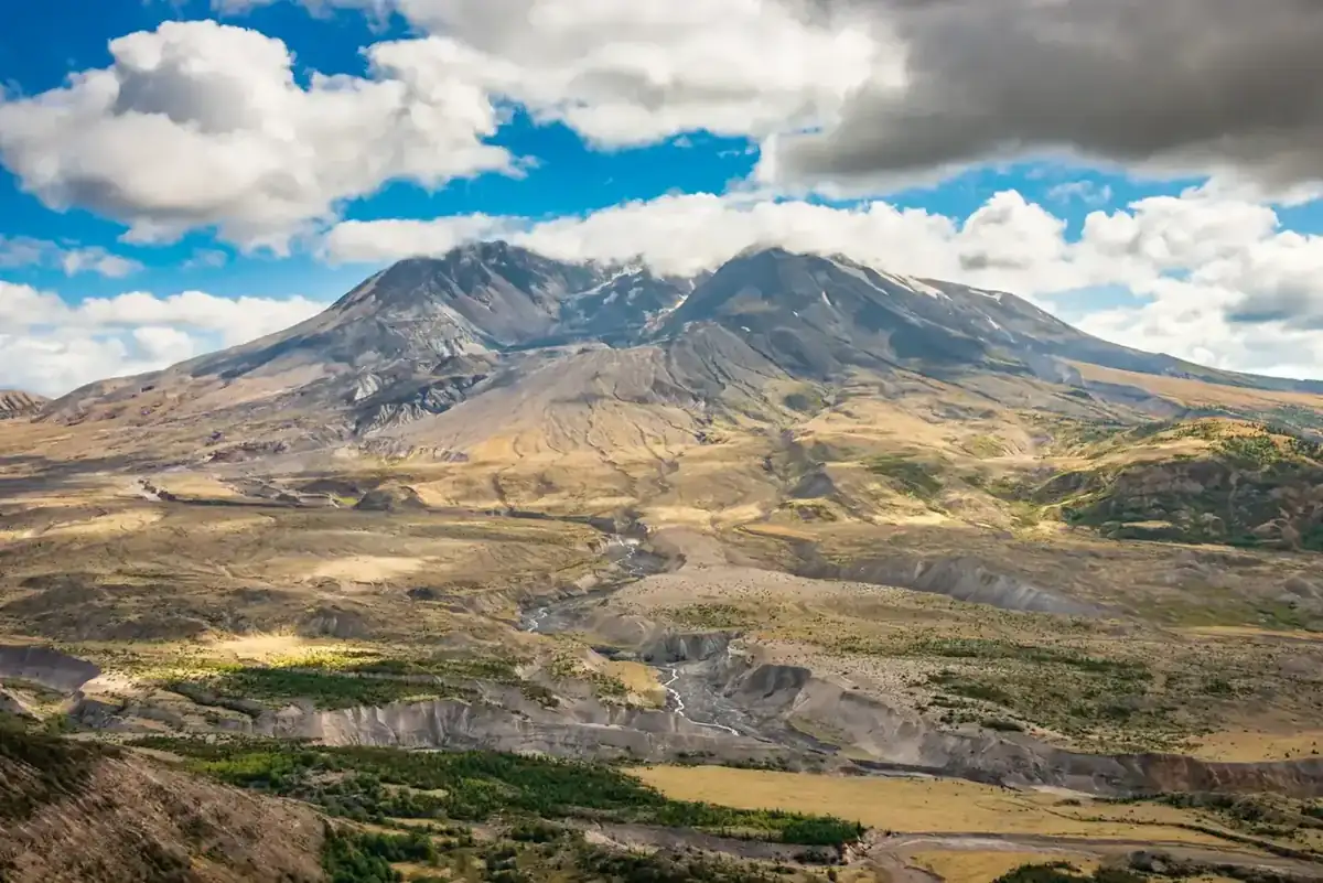
Following the volcanic eruption of 1980, this unassuming Washington peak became America's most famous mountain. Mount St. Helens was once the lesser sibling of Mount Rainier and Mount Hood, which serve as the backdrops for Seattle and Portland. Unlike them, St. Helens was isolated from major population centers and surrounded by rural communities. It was also less noticeable on the horizon because of its distance from major roadways and the thick forests that surround it. Therefore, it was just another massive point on the Cascade Range.
Mount St. Helens' recent history has been rather volatile, with four major eruptions over the last 500 years. However, the eruption in 1980 was the first significant eruption ever broadcast on television, and it changed our perception of volcanic peaks forever by showing us the stories of the people who directly experienced the event. Fifty-seven people were killed and 250 homes, 47 bridges, 185 miles of roads, and 15 miles of railroad were destroyed. Among the dead was volcanologist David A. Johnston, for whom the Johnston Ridge Observatory is named. This observatory vantage point provides the best and easiest access for viewing the beautiful devastation that remains.
Geologically, the mountain follows a cycle of rising, erupting, and reforming. This latest blast removed the top 1300 feet from the peak of the volcano. Where the summit once stood at 9,677 feet, its highest point is now the one-mile-wide horseshoe-shaped crater at 8,363 feet. The site is still volcanically active and its peak is noticeably rebuilding. You can see the smoke and ash rising from the center of the crater while it slowly reforms.
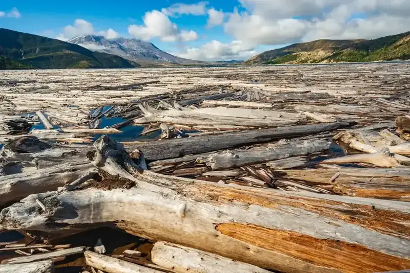
As you approach Mount St. Helens, the evidence of the eruption slowly becomes apparent. Rivers flow through volcanic soil and new forests rise beside older growth. Lakes and overlooks give views of fallen trees that still blanket the hills, valleys, and waterways even 40 years after the event.
For years people have called for better protection for volcanic remnants of the mountain and highlighting the devastated areas around the former summit. Some of these calls were made before the volcano erupted, with more following post-event. Mount St. Helens was just a part of the Gifford Pinchot National Forest prior to becoming infamous, but in 1982 President Ronald Reagan created Mount St. Helens National Volcanic Monument to better honor this natural wonder and our national heritage. Advocates for a National Park designation have made the argument that the volcano is likely the most iconic American landscape currently not in the National Park system, and by creating a park the local economy would prosper and bring in tourists. Travelers are much more likely to turn off the highway for a National Park than a national monument.
Following the eruption of Mount St. Helens, the idea of creating a National Park has come and gone. The most recent consideration was in 2007, but this proposal was quickly abandoned. Occasional voices keep the idea alive, but momentum seems to have slowed.
The history of National Park Campaigns
Environmental groups asked President Carter for a National Park almost immediately after the May 18, 1980 eruption; Congress instead created a Forest Service-managed National Volcanic Monument in 1982 after the Forest Service persuaded the Reagan administration it could do the job. Budget collapse and a visitor-center closure in 2007 triggered the Washington delegation's 2007–2010 inquiry into a transfer to the Park Service, backed by an NPCA economic study; a local task force sided with the Forest Service in 2010, and the idea recurs in op-eds (2022).
- Distinct National Park attempts
- 2 (1980 park push; 2007–10 transfer effort)
- Other designation attempts
- monument 1982
Sources
- P.L. 97-243 and House/Senate reports (1982)
- NPS, "National Monuments and the Forest Service"
- NPCA, Mount St. Helens economic report (2008)
- Baird task force report (2010)
- May 18, 1980
Eruption; "President Carter... was approached almost immediately by various environmental groups to establish a National Park around the still smoking mountain." (NPS/USFS monuments history)
- 1980–82
Study and public input on a monument (Reps. Don Bonker and others; Sens. Jackson/Gorton); "the USFS convinced the Reagan Administration that they could handle the monument better than the NPS." VERIFY bill numbers.
- August 26, 1982
Mount St. Helens National Volcanic Monument Act (P.L. 97-243), 110,000 acres in the Gifford Pinchot NF; the first congressionally created Forest Service monument; dedicated May 18, 1983 (Chief Max Peterson).
- 1993–1997
Coldwater Ridge ($11.5M) and Johnston Ridge visitor centers open.
- July 2007
Forest Service announces closure of the Coldwater Ridge center; Sens. Cantwell and Murray and Reps. Baird and Dicks write Under Secretary Mark Rey questioning "whether the Forest Service is the best agency to provide long term management." (National Parks Traveler, July 2007)
- November 2008
NPCA study touts economic benefits of a Mount St. Helens "National Park"; Skamania County/Baird task force studies transfer; March 2009 — E&E News: delegation "exploring a transfer."
- 2010
Task force recommends keeping the monument with the Forest Service (separate line-item funding); Baird accepts.
- 2022
Seattle Times op-ed for the 40th anniversary: "Make Mount St. Helens a National Park."