- Location
- Michigan
- Current protection
- Sleeping Bear Dunes National Lakeshore, Sleeping Bear Dunes Wilderness, North and South Manitou Islands
- Status
- No park campaign on record
- In the book
- Not featured in Undiscovered America
Why should it be a National Park?
An Ojibwe story explains the place. A mother bear and her two cubs swam Lake Michigan to escape a fire on the Wisconsin shore. The mother reached the eastern beach and climbed the bluff to watch for her cubs, who drowned within sight of land. The Great Spirit raised two islands where they went under and a solitary dune where she waited. North and South Manitou Islands are out there, and the dune is still on the bluff.
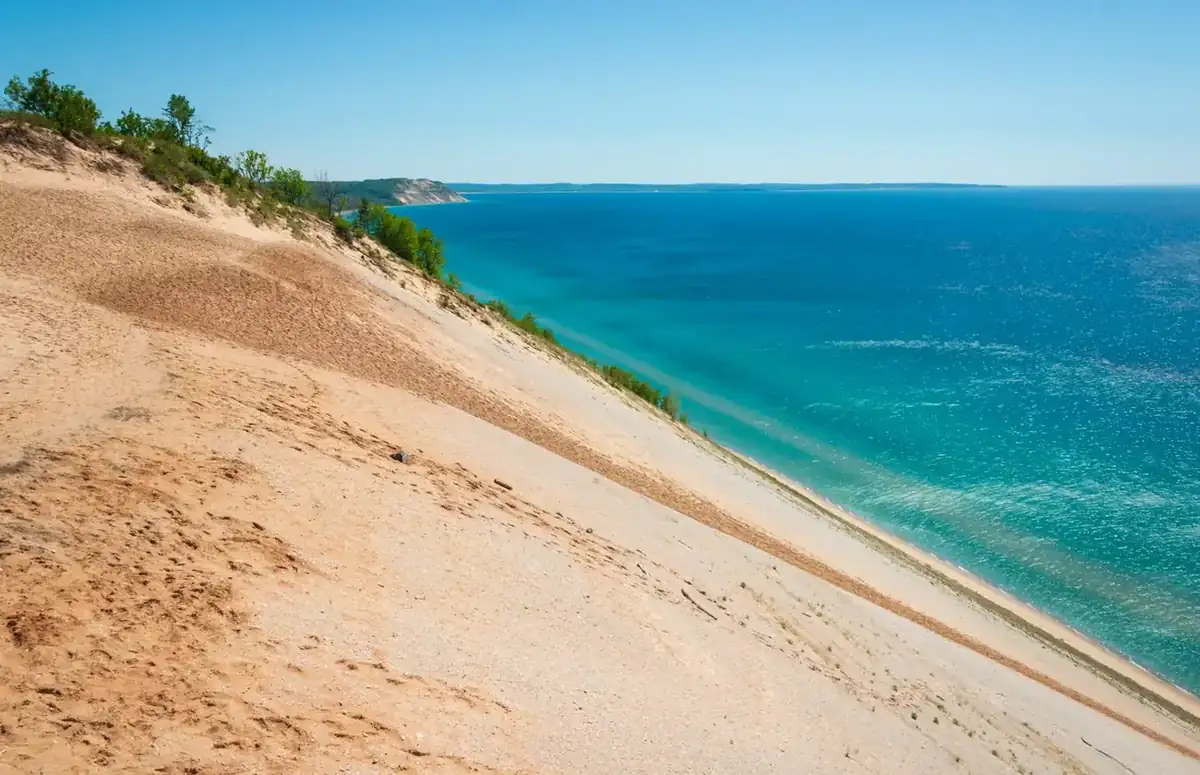
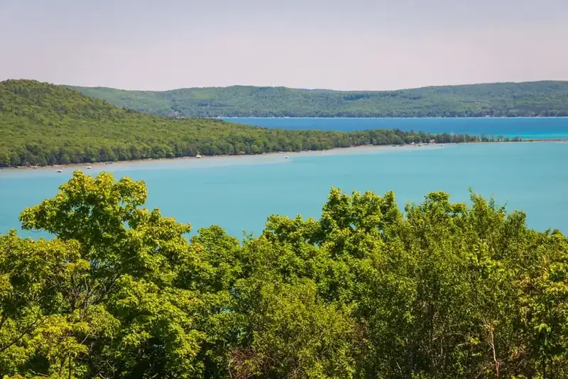
The geology is glacial. Ice sheets left moraines along this coast, and wind piled sand on top of them, which is why these are perched dunes, sitting on high ground rather than at the water's edge. They rise 450 feet above Lake Michigan, and standing on the Lake Michigan Overlook on Pierce Stocking Scenic Drive is like standing on a cliff made of beach. The lakeshore takes in 71,000 acres and 65 miles of shoreline, with beech and maple forest, small glacial lakes, and the two wilderness islands offshore.
The human record here is maritime and agricultural: Life-Saving Service stations, the Glen Haven cannery, farmsteads in the Port Oneida Rural Historic District where the fields are still cleared, and shipwrecks in the shallows from the days when this coast was a shipping lane.
Sleeping Bear is regularly called one of the most beautiful places in America, and it has never been proposed as a National Park. The fight here was about wilderness instead. A proposal made in the 1970s sat unresolved for four decades before Congress finally designated 32,557 acres in 2014, making it the newest wilderness in the country at the time. The park question simply never came up, which is worth noting in a book about places that were considered: some landscapes get everything except the conversation.
The scale is hard to convey in a photograph. The Dune Climb is a wall of sand people crawl up on all fours, and it is not the big one. From the Empire Bluff and the Lake Michigan Overlook the dune drops four hundred and fifty feet straight to the water, so steep that the park posts a sign warning that a rescue off the face costs three thousand dollars, because people go down and cannot come back up.
The islands are the quiet half of it. South Manitou holds a stand of virgin white cedar that escaped the logging, some of the largest known anywhere, and the rusting hull of the Francisco Morazan sits in the shallows off its south end. North Manitou is managed as wilderness, reachable by a ferry that does not come back for days. The Manitou Passage between them took enough ships to be its own underwater preserve.
On the mainland the story is farming, not tourism. Port Oneida is a whole rural historic district of barns and farmhouses left standing, and Glen Haven still has the cannery and the Life-Saving Station. All of it is already in federal hands, which makes this one of the simplest proposals on the list: no land to buy, no boundary to fight over, no agency to persuade. What is missing is the title, and the standing and the budget that come with it.
The history of National Park Campaigns
Sleeping Bear Dunes, established as a national lakeshore in 1970 with perched dunes rising 450 feet above Lake Michigan, is periodically called National Park worthy, but the actual designation activity has been wilderness rather than park. Congress designated 32,557 acres as the Sleeping Bear Dunes Wilderness in 2014, resolving a dispute dating to the 1970s. No National Park bill is on record.
- Distinct National Park attempts
- 0
- Other designation attempts
- 2 (national lakeshore 1970; wilderness 2014)
Sources
- NPS, A Nationalized Lakeshore: The Creation and Administration of Sleeping Bear Dunes National Lakeshore
- P.L. 91-479 legislative history
- congress.gov, H.R. 163 (113th Congress)
- June 27, 1961
Sen. Philip A. Hart introduces S. 2153, the first Sleeping Bear lakeshore bill, alongside S. 2152 for Pictured Rocks.
- October 21, 1970
Sleeping Bear Dunes National Lakeshore established (P.L. 91-479) after a nine-year fight.
- 1970s
A wilderness proposal is made and then stalls for four decades.
- 2014
Congress designates the Sleeping Bear Dunes Wilderness, 32,557 acres, roughly 46 percent of the lakeshore (H.R. 163).
- Present
No National Park bill on record; belongs on the misattribution list.