- Location
- Michigan
- Current protection
- Pictured Rocks National Lakeshore, North Country National Scenic Trail
- Status
- No active campaign
- In the book
- Featured in Undiscovered America
Why should it be a National Park?
By far, the largest group of freshwater lakes on the planet are the Great Lakes on the border of the United States and Canada. These lakes contain 21% of all the world's freshwater. Despite this, the National Park Service has had a complicated history with protecting the coastlines, beaches, forests, cliffs, formations, and swamps that surround each lake.
That complicated history began with Mackinac National Park in Michigan, which was designated as the second National Park in the world, following Yellowstone. This park existed from 1875 to 1895 before being disbanded and transferred to the state of Michigan, where it remains a state park.
This was the last time the lakes enjoyed the national esteem they clearly deserve. As of now two National Parks, Isle Royale and the recently created Indiana Dunes, can be found in the Great Lakes region. Isle Royale is located at the northwest boundary of Lake Superior near the border of Canada and Minnesota. The island displays a wonderful geologic and natural appearance, but Isle Royale has virtually no resemblance to the vast majority of the Great Lake environment or ecosystem. Indiana Dunes was designated in 2019 and protects primarily a small patch of sand dunes at the southern edge of Lake Michigan.
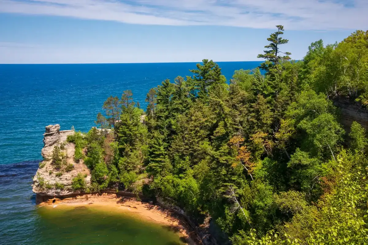
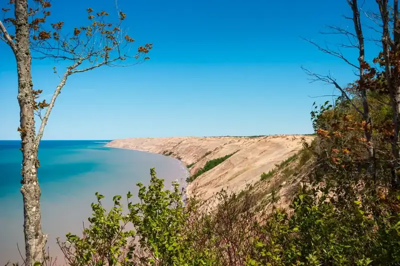
In contrast, Canada has five National Parks along the great lakes despite having a shorter coastline on the lakes. Perhaps the best candidate for a new American National Park is Pictured Rocks National Seashore, located along the northern banks of Michigan's upper peninsula. Its rugged shoreline, steep cliffs, massive sand dunes, impressive waterfalls, dense forests, and scenic beaches make up one of the most diverse sections of the shorelines in America. Pictured Rocks offers the opportunity to explore miles of pristine coast, hike nearly 100 miles of trails, view towering sandstone cliffs, and experience the serenity of the northern woodlands.
In the spring, trails are carpeted with the soft beauty of wildflowers. Summer gives way to warm, sunny days. Hues of orange, red, and yellow leaves signal the change to autumn. In the winter snowfall and chilly breezes shut down much of the area, and tourism drops.
The North Country National Scenic Trail stretches 4,600 miles from New York to North Dakota and runs along the lakeshore in this region providing staggering views of the lake and rock arches that pierce the crystal clear waters below. The North Country Trail is the longest trail in the United States, but unlike its popular counterparts the Appalachian and Pacific Crest Trails, it doesn't pass through a single National Park, and this would be an opportunity to change that, and how we acknowledge the importance and beauty of the Great Lakes.
The history of National Park Campaigns
Munising sportsmen and Michigan's state parks chief proposed a state park and game refuge in 1923–24 (approved, never funded). The Park Service's 1957–59 Great Lakes Shoreline Survey rated Pictured Rocks nationally significant, Sen. Philip Hart introduced the first federal bill on June 27, 1961, and after loggers and landowners objected, the plan was rebuilt as a two-zone lakeshore — a 28,000-acre shoreline zone and a 39,000-acre inland buffer where timber cutting continued — enacted October 15, 1966 as America's first national lakeshore. A National Park was never on the table.
- Distinct National Park attempts
- 0
- Other designation attempts
- state park/refuge 1924; lakeshore 1961–66; wilderness 2009
Sources
- NPS, Our Fourth Shore: Great Lakes Shoreline Recreation Area Survey (1959)
- Pictured Rocks National Lakeshore: A Proposal (NPS, 1961/62)
- P.L. 89-668 and hearings
- Michigan in the World (U-M) exhibit on Hart's bills
- Grand Marais Historical Society archives
- 1923
Munising sportsmen and the state parks superintendent urge the Conservation Commission to act; August 25, 1924 — P.J. Hoffmaster, "A Report on Pictured Rocks Area, Alger County, for State Park and Game Refuge"; legislative approval 1924, no funding; Munising sets aside 27 acres at Miners Castle. (Edington; Grokipedia summary of NPS records)
- 1953
State report calls the site "one of the most significant" in Michigan.
- 1957–59
NPS Great Lakes Shoreline Recreation Area Survey (report 1959/60, "Our Fourth Shore"): of ~5,500 miles surveyed, Pictured Rocks' 43 miles rated "unique and spectacular scenery unmatched elsewhere on the Great Lakes," one of five nationally significant areas.
- June 27, 1961
Sen. Philip A. Hart (D-MI) introduces the first bill (~67,000 acres, Munising to Grand Marais); 1961 NPS plan recommends 100,000 acres; loggers and landowners object. (Michigan in the World exhibit; NPS brochure)
- 1962
Hart's revised plan: timber operations continue in designated zones, hunting and fishing continue; NPS proposal: 28,000-acre shoreline zone + 39,000-acre buffer zone. (agatelady.com; Hart's 1962 report)
- October 15, 1966
P.L. 89-668 (Johnson) authorizes Pictured Rocks National Lakeshore; October 6, 1972 — formally established at Munising (Gov. Milliken, Sens. Griffin and Hart).
- 1996
Omnibus Parks Act revisions; March 30, 2009 — Beaver Basin Wilderness (P.L. 111-11).
- 2020s
"Perennial talk" of National Park status; no bill. (2026 inventory)