- Location
- New Mexico
- Current protection
- Bureau of Land Management lands
- Status
- Dormant campaign
- Tier
- Tier 2 · National Monument
- In the book
- Not featured in Undiscovered America
Why should it be a National Park?
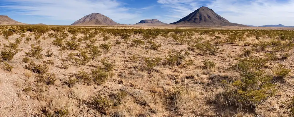
Otero Mesa holds one of the largest remaining expanses of Chihuahuan Desert grassland in the country, about 1.2 million acres of grass and yucca on a high tableland in southern New Mexico, home to pronghorn, golden eagles, and the rare aplomado falcon.
Beneath it lies the Salt Basin aquifer, one of the largest untapped freshwater sources in New Mexico, and on its mountains are petroglyphs left by the people who crossed it for thousands of years. It is a grassland worth a National Park.
The history of National Park Campaigns
Otero Mesa became a national cause in the 2000s, when the Bureau of Land Management opened it to oil and gas leasing and New Mexico's governor, Bill Richardson, fought the drilling. In 2010, a leaked Interior Department paper listed it among 14 good candidates for a national monument, and conservation groups pressed for one, but no designation came.
- Distinct National Park attempts
- 0
- Other designation attempts
- 1 (2010s national monument campaign)
Sources
- U.S. Department of the Interior, "Prospective Conservation Designation: National Monument Designations under the Antiquities Act" (2010)
- Wikipedia, List of proposed national monuments of the United States
- 2000s
The BLM opens the mesa to oil and gas leasing; Gov. Bill Richardson and conservation groups fight it.
- 2010
An Interior Department paper lists Otero Mesa, about 1.2 million acres, among 14 prospective national monuments.